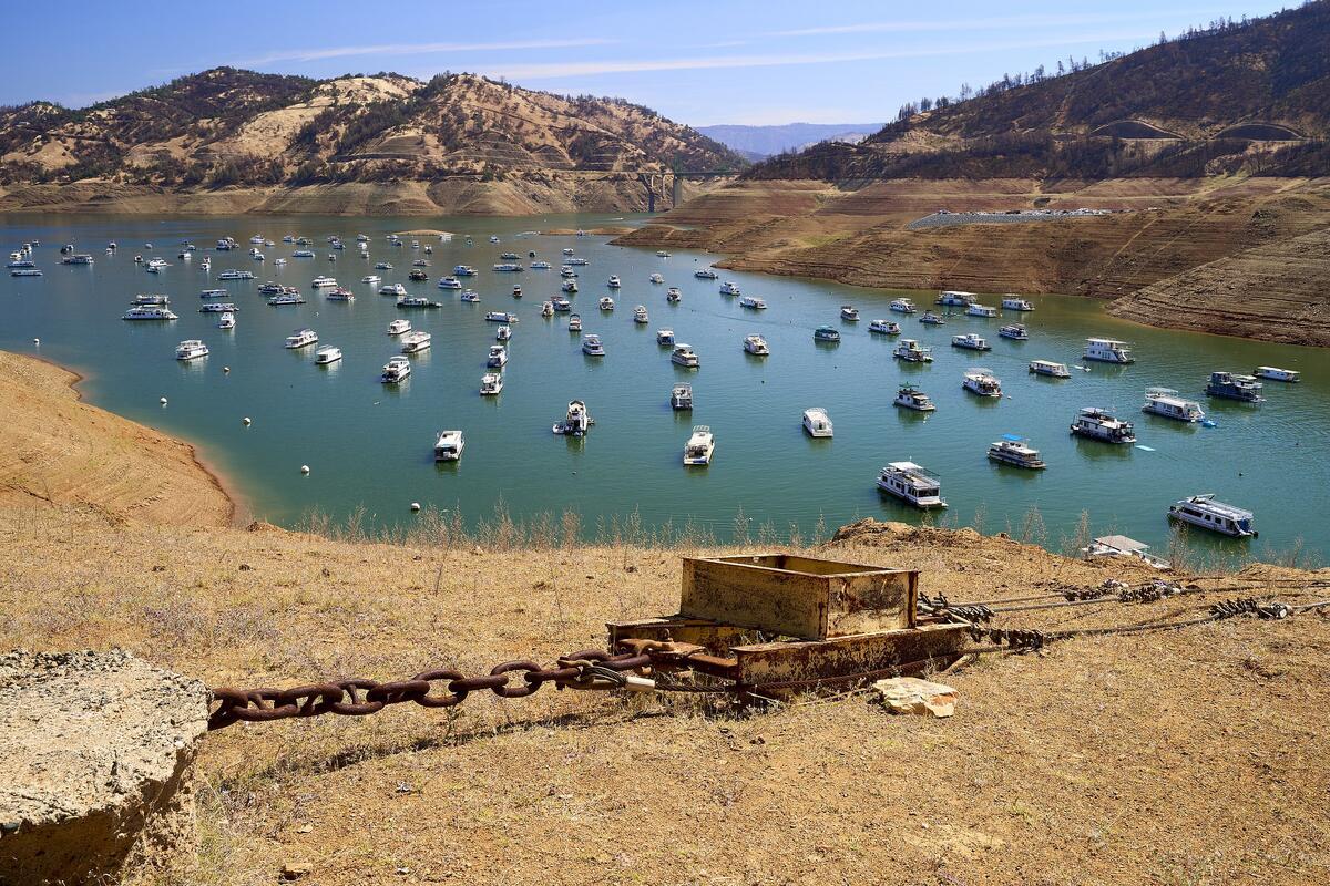
California is amidst a period of intensifying drought. As of July 8, Governor Gavin Newsrom (D-Calif.) had issued drought emergency declarations for 50 of the state's 58 counties and had urged local residents to voluntarily reduce their water use. Californians have seen dry periods like this before that prompted water scarcity concerns. But climate change is increasing the frequency and severity of these events, leading to increased public health and environmental concern.
We spoke with Laurel Larsen, a UC Berkeley associate professor of geography and Berkeley Institute for Data Science faculty affiliate who researches future clean water availability using data science. Larsen, who is currently on leave from Berkeley while serving as lead scientist at the Delta Stewardship Council, talked about water resource management in California and data science’s role in it.
This interview has been edited for length and clarity.
Q: Can you describe your current job?
A: I am the Delta lead scientist, which is a position funded by the U.S. Geological Survey (USGS) and housed within the Delta Stewardship Council.
The Council is a state agency tasked with managing the Sacramento-San Joaquin Delta. That means maintaining a reliable water supply and managing water in a way that benefits ecosystems and ensures their sustainability, while preserving the agricultural and cultural character of the Delta. The science program, which is under my leadership right now, is tasked with providing the independent science that underlies the council’s decisions.
I also run the Environmental Systems Dynamics Laboratory in the UC Berkeley Department of Geography. We investigate the availability and location of water resources within aquatic systems like watersheds and wetlands, the processes and factors that impact water availability within those systems and ways we can use that information to forecast water availability in similar environments across the country. We're interested in gaining a better understanding of how those processes can help us devise better restoration and management strategies for these environmental systems.
Q: Why did you choose to use data science to look at water resources?
A: On a personal level, I have always really loved math and environmental science and looked for ways to fuse those two things.
On a practical level, the scientific community is funding environmental and hydrological observatories that are collecting data on various aspects of environmental systems at a really high frequency for many different types of variables. More and more data is being collected. But the synthesis effort -- doing something with that data -- has been lagging behind the actual data collection efforts. Now, especially at Berkeley, more and more students are receiving really deep hydrology disciplinary training and really strong data science training.
The decision was also strongly guided by postdoctoral and graduate students within my lab, as part of efforts to help us forecast stream flows for places where we don't have measurements.
Q: Why should this kind of forecasting matter to the general public?
A: Stream flow forecasting helps us better anticipate disasters. It could give us an idea of when a flood peak might arrive with enough time to implement preparedness measures.
Over a longer time scale, it can also help us plan for future climate scenarios. In California, we're looking at both increased frequency of drought and increased frequency of flooding. Trying to put some bounds on what we might expect for stream flow or flooding can be important in planning adaptation strategies.
The other thing is that this synthesis of knowledge on a national scale can help us generate predictions in places where those predictions weren't possible before because there's not a gauging station there or there's only the data that's available from satellites, which is fairly limited when it comes to making stream flow-predictions. In past decades, hydrology has been criticized as being incredibly focused on the watershed scale and very site specific. But large-scale data synthesis can help us overcome that criticism.
Q: What have you learned from your work about what state and regional efforts we need to address drought and flooding issues in California?
A: We're realizing at a state level that our current mode of operation -- just looking at the current water year -- isn't sufficient. We really need to be anticipating drought and flood scenarios long before they happen. Once that state of emergency is declared, everyone is scrambling trying to figure out how to do water allocations under current constraints. That’s a really challenging situation for doing interagency collaboration or collective brainstorming, trying to come up with out of the box solutions that haven't been used before.
There's a strong need for folks from multiple agencies to get together with all interested parties to decide what the objectives of management during drought should be, and to develop models that will apply scientific knowledge to help inform our development of more optimal solutions.
Q: How about state and regional policies?
A: I think what we really need are reforms to existing policies, reforms that allow for more flexible water management that accommodate necessary adaptation.
For instance, one of the things I've been hearing about from many of the agencies in charge of implementing policy within the Delta is that it's really difficult to meet salinity standards during drought conditions. It's quite likely in the future that those salinity standards will need to become more flexible to manage salinity more effectively in a way that balances requirements for both humans and ecosystems. With the combination of sea level rise and reduced inflows into places like the Delta, there's more saltwater intrusion further inland that can endanger water intakes.
Q: And that's an issue for our drinking water and for ecosystems with species that need freshwater to survive?
A: Yes, that’s correct.
Q: Do we need any new water resources policies?
A: During drought conditions, contaminants become more concentrated. There are a lot of contaminants that we don't know very much about yet in terms of their impacts on ecosystems. I think probably in the future, we'll see more policies regulating those contaminants.
We might also see policy regulating water quality related to harmful algal blooms. These blooms become more frequent as temperatures get warmer and during drought conditions. They're a particular problem in the Delta, but they're also problematic in other parts of California.
Q: This was really helpful. Anything you’d like to add?
A: There are agencies that have been developing national-scale forecasting models for stream flow, including the National Water Model spearheaded by the National Center for Atmospheric Research and the National Hydrologic Model used by the USGS.
One of the exciting things my Berkeley group and collaborators are working on is how to make similar national-scale water quality forecasts available to the general public. That could help with forecasting these harmful algal blooms on a national scale or other water quality constituents that might be hard to treat in drinking water. These forecasts could be big for drinking water treatment plants, who could use the information to strategically time when they intake water. It still feels like it's quite a way off, but we're making progress towards that.